StreetView
Table of contents
What's Street View
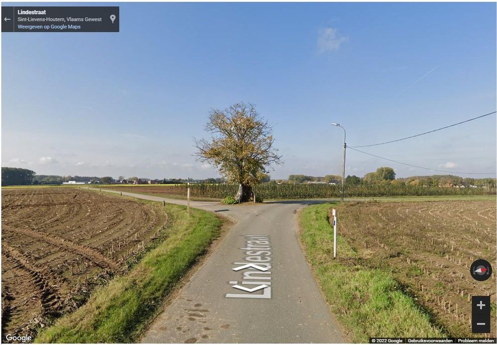
Street View is a functionality and a product of Google (part of GoogleMaps/Satellite), which allows you to take a virtual look on the spot, so to speak (vs. from the air that can be done via satellite images/air photos).

How to activate StreetView?
From a RouteYou Plus you can also use the Google map layers. Read more about that here. You can activate these Google map layers in most places where maps are used: in the RouteViewer, RouteZoeker, RoutePlanner, ...
Once you have activated the Google Map or Satellite (images) then the Google StreetView pegman ![]() will appear on the bottom right of the map image. With the following steps you can effectively activate Google Street View:
will appear on the bottom right of the map image. With the following steps you can effectively activate Google Street View:
- Click on the little man and hold the button down for a moment.
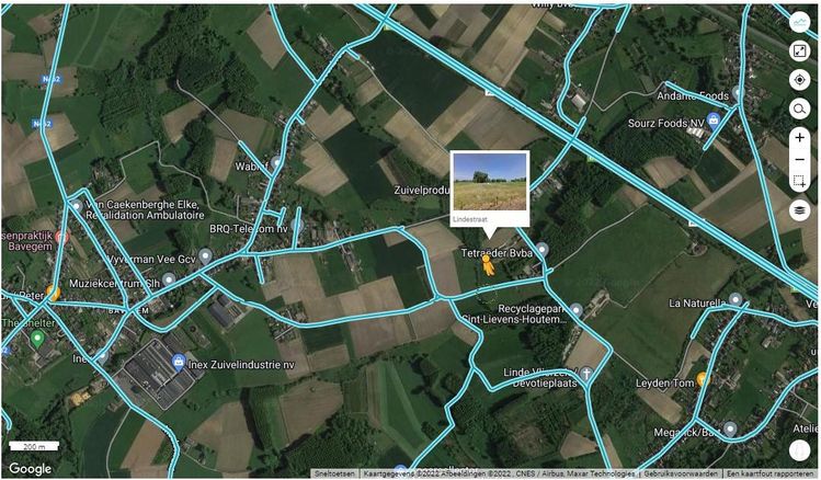
- You will see blue lines appear on the map. These are places where StreetView information is available.
- Drag the little yellow man onto your map and release him on top of one of those blue lines.

- You will now switch to Google StreetView mode.
To return to the map view, close StreetView by clicking on the little arrow next to the location information.

Click the button below to go to the RoutePlanner and give it a try.
